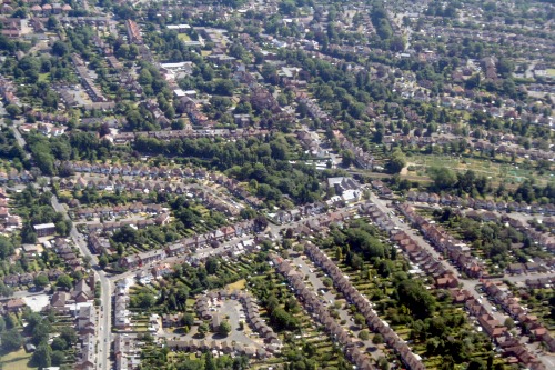
3D mapping helps Walsall manage tree estate
Walsall Metropolitan Borough Council is using a 3D map of its tree canopy cover from data supplier Bluesky's National Tree Map to support its urban forest strategy.
Sign in to continue
Need to activate your subscription?
Already a subscriber
If you haven't already, activate your subscription here>>
Company Domain Access
If your company or university has a corporate subscription simply register your email address here to gain access